Understanding Ontario’s Conservation Authorities Act

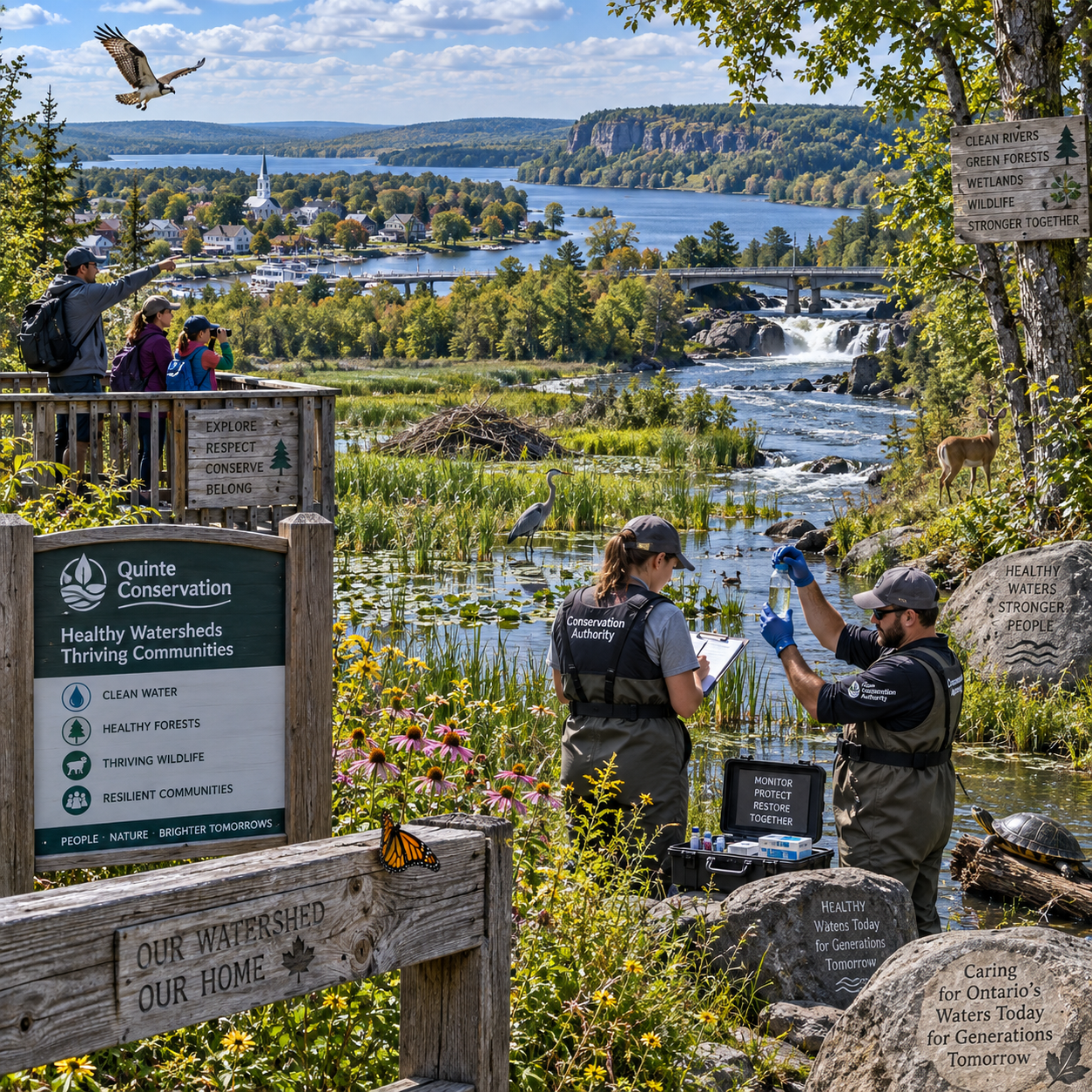
Ontario’s Conservation Authorities Act provides the legal framework for community-based organizations that manage natural resources and help reduce risks from natural hazards. Its practical importance reaches beyond permits or development reviews: the Act connects municipalities, residents, landowners, and conservation professionals through watershed-based planning.
What Is Ontario’s Conservation Authorities Act?
Ontario’s Conservation Authorities Act is provincial legislation that enables conservation authorities to deliver watershed-based programs, protect people and property from natural hazards, and support environmental conservation. It gives these locally organized bodies a framework for working with municipalities and communities across watershed boundaries.
A watershed is an area in which rainfall, snowmelt, groundwater, streams, and rivers drain toward a common outlet. That geography rarely matches municipal boundaries. A flood, declining wetland, or polluted tributary can affect several municipalities at once, so the Act supports cooperation at the scale where water and natural systems actually move.
The legislation is part of Ontario’s broader environmental and public-safety framework. It does not replace municipal planning, provincial environmental laws, Indigenous rights and responsibilities, or other regulatory systems. Instead, it establishes a role for conservation authorities in areas such as watershed management, natural hazard awareness, conservation programs, and technical advice.
The Act’s broad framework is consistent across Ontario, but its application can look different from one conservation authority to another. Local watersheds face different conditions, including Great Lakes shorelines, rural headwaters, urban floodplains, forests, wetlands, and rapidly changing development pressures. Readers seeking site-specific information should consult their municipality and local conservation authority.
For background on Ontario’s legislative framework, readers can review the official Conservation Authorities Act on Ontario’s e-Laws website.
What Are Conservation Authorities?
Conservation authorities are locally focused watershed organizations that work with municipalities, residents, landowners, Indigenous communities, and other partners to manage natural resources and address environmental risks. Their service areas usually follow watershed boundaries rather than a single town or city.
A conservation authority board provides local governance. Boards are typically connected to participating municipalities, which means conservation authorities are closely linked to local government while retaining a watershed-wide perspective. The exact governance arrangements, programs, and priorities vary among authorities.
Common activities may include:
- Preparing watershed strategies and resource management plans.
- Assessing flood, erosion, unstable slope, and shoreline risks.
- Operating or supporting flood forecasting and warning systems.
- Monitoring forests, wetlands, rivers, groundwater, and biodiversity.
- Managing conservation lands, trails, forests, and natural areas where applicable.
- Providing environmental information and technical advice to municipalities and applicants.
- Delivering education, restoration, tree planting, and community stewardship programs.
This model has a useful division of perspective. Municipalities make decisions within their legal mandates and communities; conservation authorities contribute watershed science, local environmental knowledge, and specialized services. Neither should be treated as a substitute for the other.
Key Responsibilities Under the Act
Under the Conservation Authorities Act, key responsibilities include natural hazard management, watershed planning, environmental monitoring, conservation programming, and work that helps protect people and property. The balance among these responsibilities depends on the authority’s watershed and local agreements.
Natural hazard management
Natural hazard work focuses on risks such as flooding, erosion, unstable slopes, and dangerous shoreline processes. Conservation authorities may map hazards, maintain technical models, issue flood messages, and advise municipalities and property owners about risk-reduction measures.
This role is preventive. A flood forecast, updated hazard map, or review of drainage conditions can help a community make better decisions before an emergency occurs. It also supports land-use planning that avoids placing new people and infrastructure in high-risk locations where possible.
Watershed planning and monitoring
Watershed planning examines how land use, water quantity, water quality, habitat, and infrastructure interact. Monitoring programs can track stream conditions, groundwater, forest cover, wetlands, wildlife habitat, and other indicators that reveal gradual environmental change.
Conservation and public education
Environmental conservation is another important part of the model. Authorities may support wetland protection, habitat restoration, tree planting, shoreline stewardship, invasive-species awareness, and outdoor education. These programs often depend on cooperation with landowners, schools, volunteers, agricultural organizations, and community groups.
Natural hazard management and environmental conservation overlap, but they are not identical. Wetlands can store water and reduce flood peaks, for example, while forest cover can improve infiltration and stabilize soil. Still, a conservation project may have ecological goals even when it does not directly address a regulated hazard.
How the Act Supports Watershed-Based Conservation
The Act supports watershed-based conservation by encouraging decisions that account for connected natural systems rather than treating each stream, wetland, forest, or shoreline as an isolated feature.
Water moves through a landscape in a connected sequence. Rain may fall on a forest, enter groundwater, emerge in a spring, flow through a tributary, and reach a lake. A change in one part of that system can affect water quality, flooding, fish habitat, and downstream communities.
Conservation authorities use this perspective to coordinate information about:
- Rivers and streams: flow patterns, water quality, fish habitat, and erosion.
- Wetlands: water storage, habitat, filtration, and seasonal hydrology.
- Forests: canopy cover, infiltration, biodiversity, and soil stability.
- Groundwater: recharge areas, wells, baseflow, and water availability.
- Shorelines: flooding, erosion, wave action, and changing lake levels.
A practical way to understand watershed-based resource management is to use the “source, pathway, receptor” test. First, identify the source of a pressure, such as increased runoff. Next, follow its pathway through ditches, streams, soil, or groundwater. Finally, identify the receptor, such as a downstream neighbourhood, wetland, drinking-water source, or aquatic habitat. This approach helps communities see why a local decision can have wider consequences.
Watershed planning also creates a place for long-term information. A single site visit may show current conditions, while monitoring and mapping reveal trends over years. That distinction matters as Ontario faces heavier rainfall, drought periods, changing land use, and pressure on natural areas.
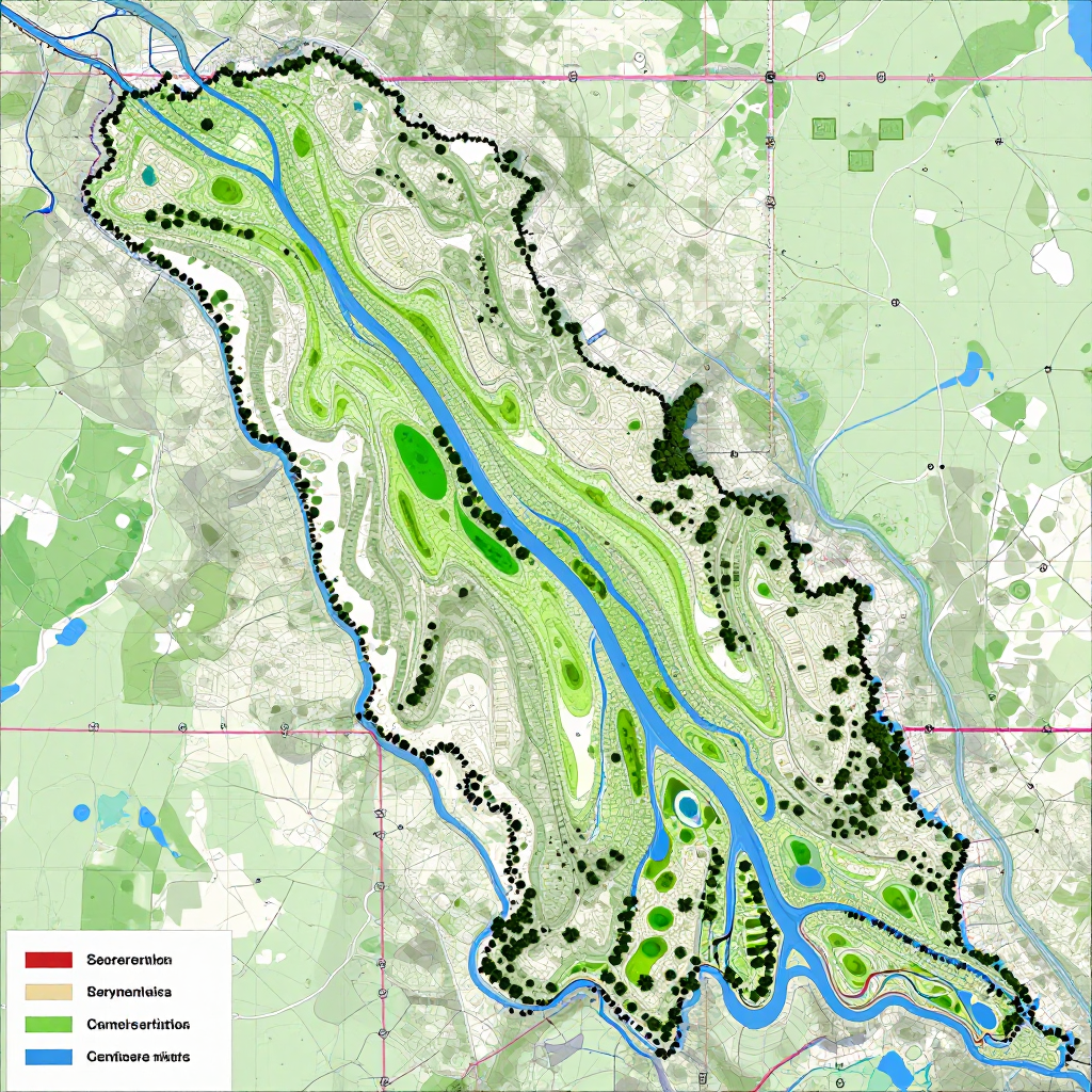
How Conservation Authorities Work With Communities and Municipalities
Conservation authorities work with municipalities and communities through planning support, technical information, public programs, emergency coordination, restoration projects, and local engagement. Their effectiveness depends on collaboration because watershed issues cross property lines and political boundaries.
Municipal governments may rely on conservation authority expertise when preparing official plans, reviewing environmental constraints, planning stormwater systems, or responding to flood risks. Municipal staff and elected conservation authority board members bring local priorities, while technical teams contribute watershed data and risk analysis.
Landowners may participate in tree planting, shoreline restoration, wetland stewardship, agricultural best-management projects, or invasive-species control. A landowner’s knowledge of seasonal drainage, past flooding, or wildlife can complement scientific monitoring.
Indigenous communities and organizations bring distinct rights, knowledge systems, cultural connections, and stewardship responsibilities. Meaningful engagement should be respectful, early, and appropriate to the project rather than limited to a final information session.
Residents and community groups also play a practical role. They may report local flooding, join restoration events, contribute observations to monitoring programs, or help maintain public conservation lands. Community engagement is strongest when people can see how their input affects priorities, decisions, or follow-up work.
One trade-off deserves attention: watershed coordination can take more time than a narrow, property-by-property approach. That additional effort often improves consistency and reduces duplicated work, but it requires clear communication about roles, evidence, timelines, and decision-making authority.
What the Act Can Mean for Property Owners and Applicants
Property owners and applicants may need to contact a conservation authority when a proposal is near a regulated natural hazard or could affect wetlands, watercourses, shorelines, valleys, or other features covered by applicable provincial rules and local policies.
Potential points of contact include:
- New construction, additions, grading, excavation, or site alteration.
- Work near a river, stream, wetland, lake, shoreline, valley, or steep slope.
- Projects that may change drainage, runoff, flood storage, or erosion patterns.
- Questions about flood-risk mapping, regulated areas, or conservation land.
- Requests for environmental information, restoration guidance, or stewardship assistance.
Requirements depend on the site and proposal. A municipal building permit, planning approval, or environmental review may involve different authorities and should not be assumed to cover every issue. Early contact can clarify whether a conservation authority review, permit, technical study, or additional information may be needed.
A useful preparation checklist includes:
- Identify the municipality and conservation authority serving the property.
- Describe the proposed activity, location, timing, and approximate footprint.
- Collect a site plan, survey, photographs, drainage information, and relevant reports.
- Ask which approvals or consultations are separate from municipal requirements.
- Request current mapping and written guidance for the specific site.
Do not rely solely on an old property listing, an online map, or a neighbour’s experience. Maps and policies can be updated, and two nearby properties may have different hazard conditions. This article provides general information, not legal advice or a definitive interpretation of any individual case.
Why the Act Matters for Ontario’s Future
The Conservation Authorities Act matters because it gives Ontario a way to address public safety and environmental stewardship at the watershed scale. It helps communities connect flood-risk reduction, biodiversity, water resources, land-use planning, and climate adaptation.
Its value is especially clear where pressures overlap. A growing community may need new infrastructure while protecting wetlands and flood storage. A rural watershed may need agricultural productivity alongside erosion control and clean-water goals. A Great Lakes shoreline may face development pressure, fluctuating water levels, and erosion risks at the same time.
The Act cannot solve these challenges on its own. Conservation authorities need reliable information, capable staff, cooperation from municipalities and landowners, and public understanding. Broader provincial legislation, municipal planning, infrastructure investment, emergency management, and Indigenous leadership also shape outcomes.
For residents, the most useful takeaway is practical: learn the watershed you live in, understand local hazards, and contact the appropriate conservation authority early when planning work near natural features. For communities, the Act provides a structure for turning local knowledge and environmental science into coordinated stewardship.
Frequently Asked Questions
What is the main purpose of Ontario’s Conservation Authorities Act?
The main purpose is to provide a framework for conservation authorities to manage watershed resources, reduce risks from natural hazards, support environmental conservation, and work with municipalities and communities.
What does a conservation authority do?
A conservation authority may provide flood forecasting and warning, hazard mapping, watershed planning, environmental monitoring, conservation land management, technical advice, education, and restoration programs. Services differ by authority and local needs.
How are conservation authorities connected to municipalities?
Conservation authorities are closely connected to participating municipalities through local governance and collaboration. Municipalities and conservation authorities have distinct roles, but they often work together on planning, public safety, environmental information, and community programs.
When might a property owner need to contact a conservation authority?
Contact one early when proposed construction, grading, excavation, drainage changes, or shoreline work may affect a regulated area or natural hazard. The local authority can explain current mapping, policies, and whether additional review is required.
How does the Act support watershed health and public safety?
It supports watershed health through planning, monitoring, restoration, and stewardship, and supports public safety through hazard assessment, flood forecasting, technical advice, and land-use decisions that consider flooding and erosion risks.